
Ladakh – The High Passes
Landscape & ASTRO Photography TrailJourney Through Ladakh
Detailed Trail Itinerary
Trail at
A Glance
Sept 06 to 16, 2026
10 Nights, 11 Days
Leh Ladakh UT
Pickup & Drop: Leh
Homestay / Camp
Breakfast, Dinner
Group: 10 Pax
Tempo Traveller
Twin sharing rooms
Landscape & Travel
Mentoring
Trip Overview
Discover the raw scale and pristine night skies of Ladakh on a curated, small-group photography trail through some of the highest and most remote terrain in the Indian Himalayas. Moving far beyond standard sightseeing, this journey is strictly timed around tracking the perfect natural light and the darkest skies—guiding you across iconic monasteries, colour-shifting high-altitude lakes, nomadic Changpa settlements, and the world’s highest motorable road at Umling La.
Trail Highlights:
-
Mastering the Light: Sunrise and sunset sessions across Nubra, Pangong Tso, and Tso Moriri, paired with four dedicated astrophotography sessions—including a New Moon night at Hanle, home to India’s darkest skies.
-
True Immersive Travel: Travel comfortably across Leh, Nubra, Pangong, Hanle, and Tso Moriri, rest in hotels, homestays, and remote camps, and experience the genuine warmth of Changpa nomadic and Himalayan Buddhist culture.
-
Field Mentoring: Whether you are a passionate photographer or a curious traveler, you will receive hands-on guidance across both landscape and astrophotography techniques to confidently frame the world in its purest fashion.
Take me on this Trail!
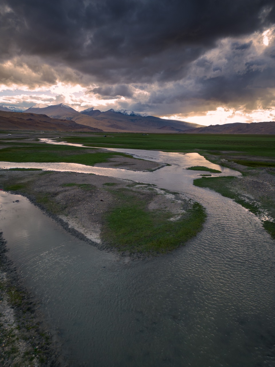
Experience the Best of Ladakh
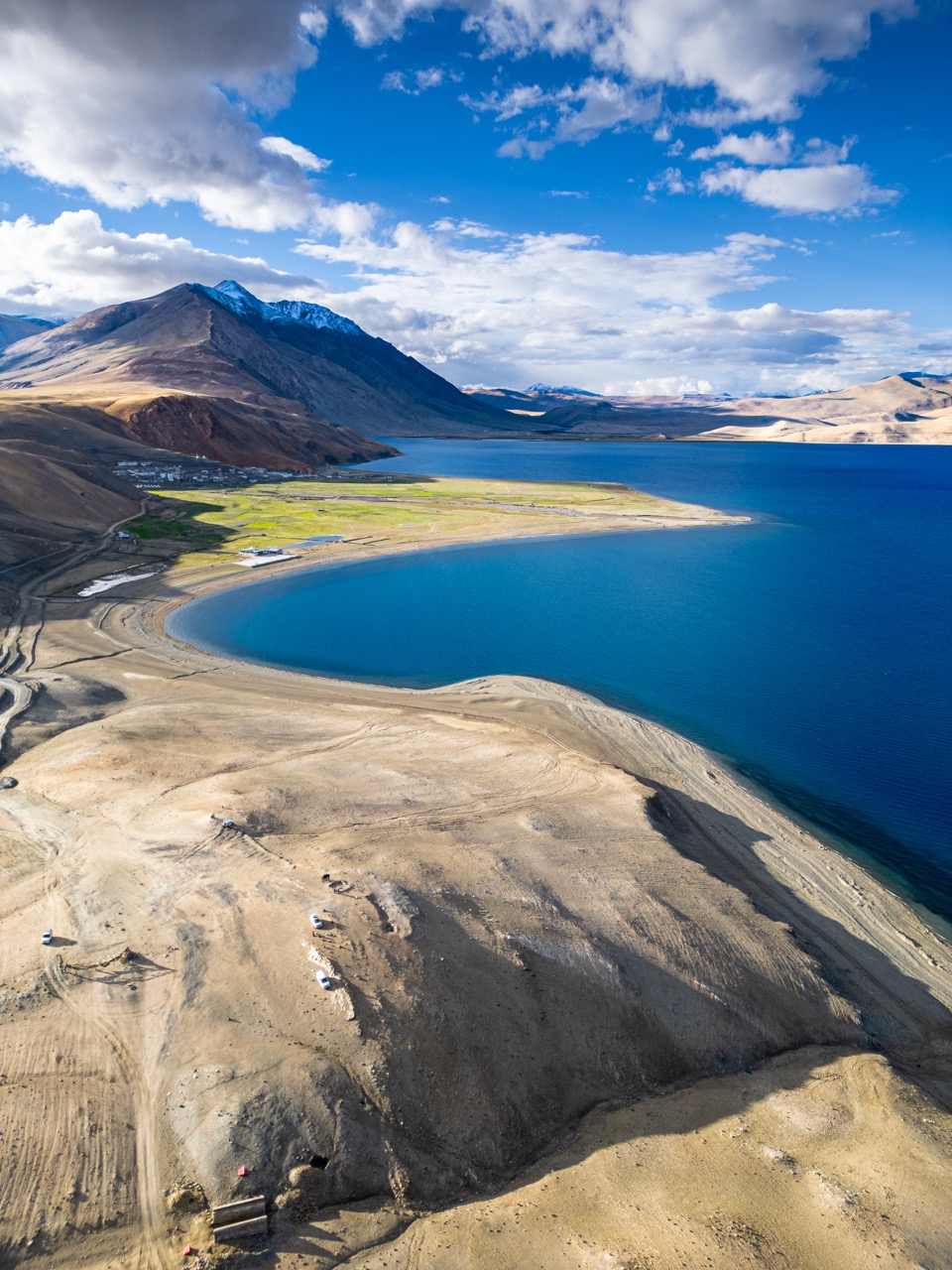
Trail Highlights
India's Darkest Skies
Photograph the Milky Way core over four dedicated astrophotography sessions—including a New Moon night at Hanle, one of the darkest sky reserves in India—alongside star trails, time-lapses, and deep sky imagery.
The Untamed Landscapes
Journey through the shifting colours of Pangong Tso and Tso Moriri, the sand dunes of Nubra Valley, and the vast, empty plains of Changthang, capturing some of the most striking high-altitude terrain in the Himalayas.
The Road to the Top of the World
Traverse the legendary passes of Khardung La and Umling La—the world’s highest motorable road at 19,024 ft—with ample time built-in to slow down, compose your frames, and document the sheer scale of the terrain.
An Inclusive Invitation
Designed seamlessly for dedicated landscape and astrophotography enthusiasts alike, you will receive personalized on-ground guidance to confidently capture both daylight and night-sky beauty across Ladakh.
Day – 01
Destination: Leh
Drive: Local sightseeing
Altitude: 3,500 m | 11,500 ft
Temperature: 18°C – 22°C (Day) | 5°C – 8°C (Night)
Accommodation : Hotel

Sep 06 : Arrival in Leh – Acclimatize & Settle In
Your Ladakh journey begins with arrival in Leh, the capital of this high-altitude desert region. Upon landing, you will be picked up from the airport and transferred directly to the hotel for check-in. To allow your body to properly adjust to the altitude, the rest of the day is dedicated entirely to complete rest and acclimatization.
As the light softens toward evening, we will step out for a relaxed, optional walk through Leh Market and the surrounding streets, capturing the blue hour as it settles over the town. An evening briefing will follow, where we walk through the days ahead, safety protocols, and what to expect from the astrophotography sessions on this trail.
📸 Photography Highlights
- Street Photography
- Leh Market
- Evening Blue Hour
- Night Cityscape (Optional)
Day – 02
Destination: Leh
Drive: Local sightseeing
Maximum Altitude: 3,500 m | 11,500 ft
Expected Temperature: 8°C – 20°C
Accommodation : Hotel
Sep 07 : Leh Local Sightseeing – Monasteries & Culture
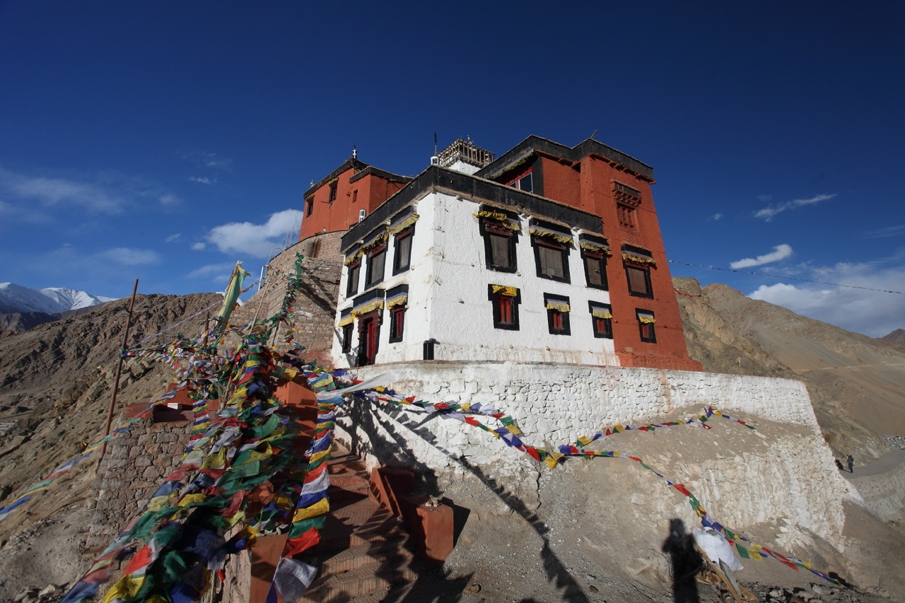
With acclimatization complete, we begin our first full day of photography around Leh. Our morning starts at Thiksey Monastery, one of the most iconic gompas in Ladakh, built in tiers up a hillside in a style reminiscent of the Potala Palace. We spend unhurried time here documenting its architecture, prayer wheels, and the daily rhythms of resident monks.
From Thiksey, we continue to Shey Palace, the former summer capital of Ladakh, before visiting the Hall of Fame to learn more about the region’s history. As evening approaches, we make our way to Shanti Stupa for sweeping views over the Leh valley, staying through sunset and into blue hour as the town’s lights begin to flicker on below.
📸 Photography Highlights
- Monastery Architecture
- Buddhist Culture
- Prayer Wheels
- Portraits of Monks
- Sunset over Leh
- Blue Hour
Day – 03
Destination: Nubra Valley
Distance: 120 km
Drive Time: 5 – 6 Hours
Maximum Altitude: 5,359 m | 17,582 ft
Expected Temperature: 15°C – 20°C (Day) | 2°C – 6°C (Night)
Accommodation : Homestay / Hotel
Sep 08 : Leh to Nubra Valley – Over Khardung La
We depart Leh early, climbing steadily toward Khardung La, one of the highest motorable passes in the world. We take our time at the top, working the dramatic, wide-open landscapes and the sense of scale that only a pass at this altitude can offer, before descending into the Nubra Valley.
Our first stop in Nubra is Diskit Monastery, home to a towering Maitreya Buddha statue that watches over the valley below. From here, we continue to the Hunder Sand Dunes, an unexpected desert landscape set against snow-capped peaks, where the resident double-humped Bactrian camels add a distinctive character to the frame. We stay through golden hour and sunset, capturing the dunes as the light turns warm across the valley.
📸 Photography Highlights
- Khardung La Landscapes
- Giant Maitreya Buddha
- Sand Dunes
- Double Hump Camels
- Sunset over Nubra
Day – 04
Destination: Turtuk
Distance: 180 km
Drive Time: 5 – 6 Hours
Altitude: 3,001 m | 9,846 ft
Expected Temperature: 16°C – 22°C (Day) | 5°C – 8°C (Night)
Accommodation : Homestay / Hotel
Sep 09 : Turtuk Excursion – Balti Heritage & Village Life
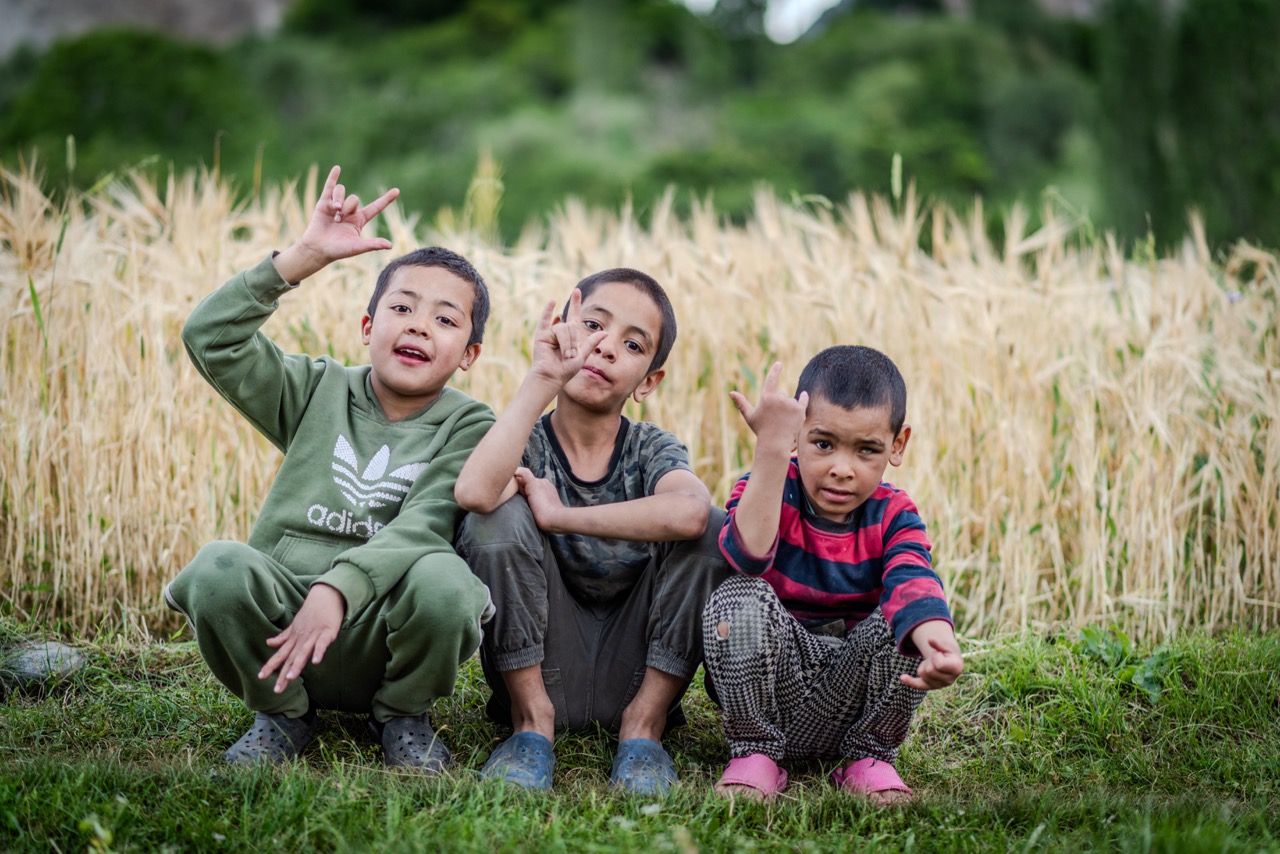
Today we venture further into Nubra Valley to Turtuk, one of the last villages before the Line of Control and among the most culturally distinct destinations on this trail. Once part of Baltistan, the village retains a heritage and architecture unlike anywhere else in Ladakh, offering a rich change of pace from the landscapes covered so far.
We spend the day exploring Turtuk on foot, documenting traditional Balti houses built from stone and wood, and photographing daily life along the banks of the Shyok River. The village’s apricot orchards, especially striking in the golden light of late afternoon, offer an ideal setting for environmental portraits and quieter, observational frames before we return to our accommodation in Nubra for the evening.
📸 Photography Highlights
- Village Life
- Environmental Portraits
- Traditional Balti Houses
- Apricot Orchards
- River Landscapes
- Golden Hour
Day – 05
Destination: Gonbo Rangjon
Distance: ~100 km Drive + Small Walk
Walk Distance: ~2 km (Round Trip)
Drive Time: 3–4 Hours + 3–4 Hours Trek
Maximum Altitude: ~4,000 m | 13,120 ft
Expected Temperature: 0°C – 18°C
Accomodation : Camp
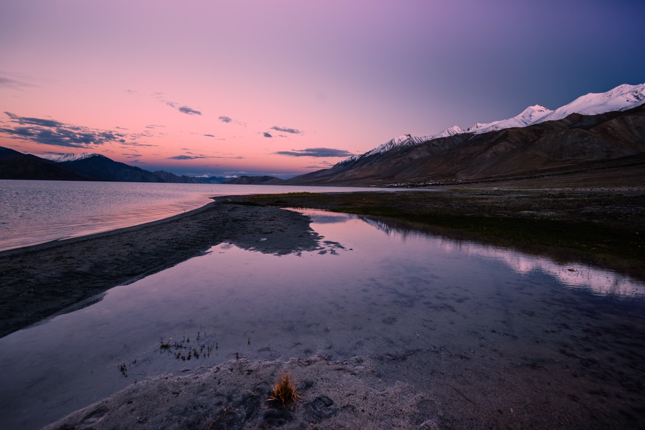
Sep 10 : Nubra to Pangong Tso – First Night Under the Stars
We depart Nubra Valley and follow the course of the Shyok River as it winds through remote, open terrain toward Pangong Tso. The drive itself offers a striking contrast in scenery, transitioning from the sand dunes of Nubra to the vast, colour-shifting expanse of the lake as we near our destination.
We time our arrival at Pangong for the blue hour, positioning ourselves along the shoreline to capture the lake’s still, mirror-like reflections as the light fades. After dinner, with clear skies overhead, we hold our first dedicated astrophotography session of the trail—framing the Milky Way alongside its reflection across the water, a rare and highly rewarding setup for night photography.
📸 Photography Highlights
- Pangong Blue Hour
- Lake Reflections
- Minimalist Landscapes
- Sunset Colours
- First Milky Way Session
- Star Reflections
Day – 06
Destination: Hanle
Distance: 200 km
Drive Time: 7 – 8 Hours
Maximum Altitude: 4,500 m | 14,764 ft
Expected Temperature: 10°C – 16°C (Day) | -4°C to 0°C (Night)
Accomodation : Homestay
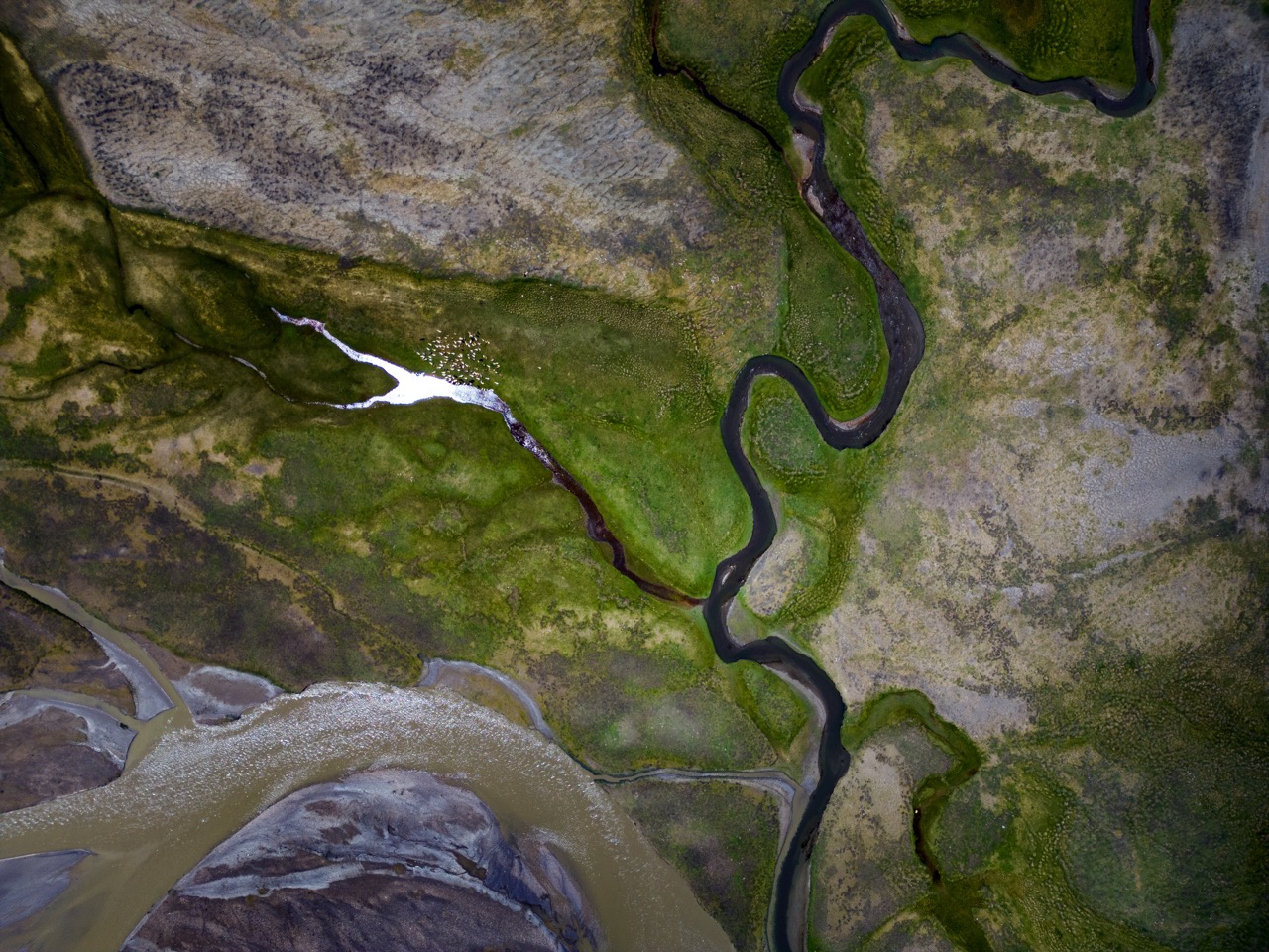
Sep 11 : Pangong to Hanle – Into India’s Darkest Sky Reserve
Today marks one of the most significant legs of the trail, both geographically and photographically. We leave Pangong and travel deep into the Changthang region, passing through Chushul and pausing at the Rezang La War Memorial to reflect on its history against the backdrop of vast, empty plains. The drive continues through Tsaga and Loma, with the landscape growing increasingly remote and untouched as we approach Hanle.
We arrive in Hanle in time to photograph Hanle Monastery at sunset, set against the region’s characteristic stark, high-altitude terrain. Tonight also marks the New Moon, and with it, the darkest skies India has to offer. As one of the world’s designated Dark Sky Reserves, Hanle gives us optimal conditions for our primary astrophotography session—capturing the Milky Way core in full clarity, alongside star trails, time-lapses, and deep sky panoramas.
📸 Photography Highlights
- Vast Changthang Landscapes
- Border Roads
- Hanle Monastery at Sunset
- Milky Way Core
- Star Trails
- Time-lapse
- Night Panorama
- Deep Sky Photography
Day – 07
Destination: Umling La
Distance: 150 km
Drive Time: 6 – 7 Hours
Maximum Altitude: 5,798 m | 19,024 ft
Expected Temperature: 8°C – 15°C (Day) | -5°C to 0°C (Night)
Accommodation: Homestay
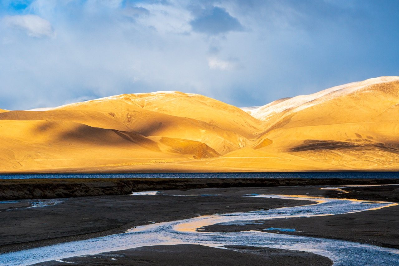
Sep 12 : Umling La Expedition – The World’s Highest Motorable Road
Today we set out from Hanle toward Umling La, the highest motorable road on the planet at 19,024 ft. The drive climbs steadily through Photi La and increasingly remote, high-altitude terrain, with the scale of the Changthang plateau becoming more apparent with every kilometre.
At Umling La, we take our time documenting the sheer scale and starkness of the landscape, with ample opportunity for drone photography across the surrounding panoramas. On the return leg, we stop at the Hanle Observatory viewpoint, home to one of the world’s premier sites for astronomical research. Back at Hanle by evening, and with clear skies permitting, we hold a second astrophotography session—an opportunity to refine techniques and capture additional frames under the region’s exceptional night skies.
📸 Photography Highlights
- World’s Highest Motorable Road
- Drone Photography
- High Altitude Landscapes
- Panoramic Views
- Observatory Landscape
- Second Astro Session (Weather Permitting)
Day – 08
Destination: Tso Moriri (Korzok)
Distance: 180 km
Drive Time: 6 – 7 Hours
Maximum Altitude: 4,522 m | 14,836 ft
Expected Temperature: 8°C – 15°C (Day) | -3°C to 1°C (Night)
Accomodation : Homestay
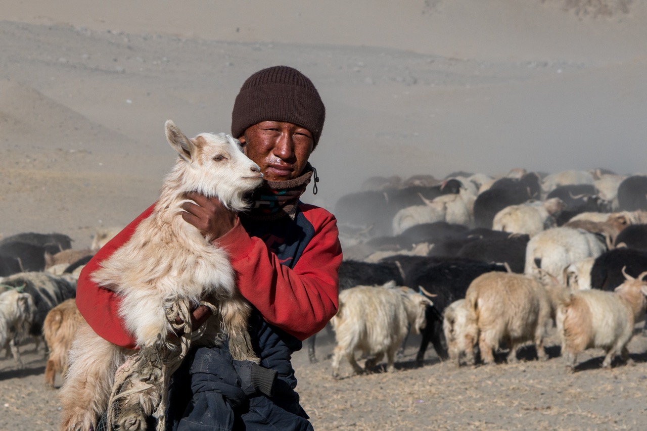
Sep 13 : Hanle to Tso Moriri – Nomadic Life on the Changthang Plateau
We leave Hanle and travel through Nyoma, Mahe, and Sumdo, tracing the edge of the Changthang plateau as it opens into wide, empty grasslands. This region is home to the nomadic Changpa community, and along the route we look for opportunities to document their pastoral way of life, including their prized Pashmina goats grazing across the plains.
By afternoon we arrive at Korzok village, on the shores of Tso Moriri, one of the highest and largest high-altitude lakes in the Changthang region. We spend the evening working the lake’s still reflections as the light shifts through golden hour and into sunset. With the sky remaining exceptionally dark this far from any major settlement, we close the day with our third astrophotography session, framing the Milky Way arching over the lake.
📸 Photography Highlights
- Nomadic Changpa Life
- Pashmina Goats
- Tso Moriri Reflections
- Sunset Colours
- Milky Way over Tso Moriri
Day – 09
Destination: Leh
Distance: 220 km
Drive Time: 7 – 8 Hours
Maximum Altitude: 5,328 m | 17,480 ft
Expected Temperature: 18°C – 22°C (Day) | 5°C – 8°C (Night)
Accommodation: Hotel
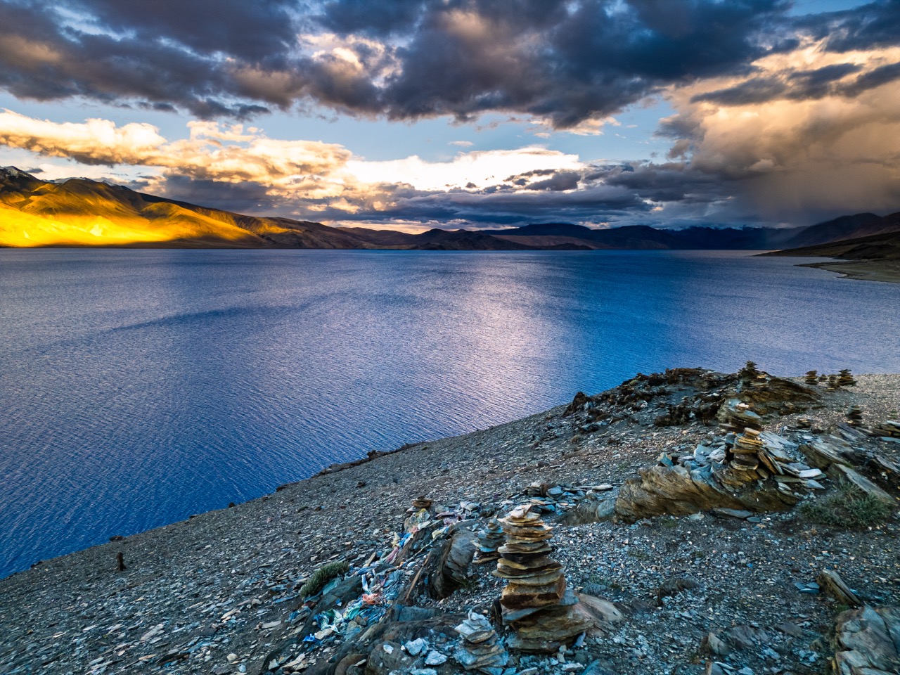
Sep 14 : Tso Moriri to Leh – Over Namshang La & Tanglang La
We rise early to catch sunrise over Tso Moriri, when the lake is at its calmest and the surrounding peaks catch the first light of the day. After a final session by the water, we begin our journey back toward Leh, crossing Namshang La before descending into Puga Valley, known for its geothermal hot springs, steam vents, and striking sulphur deposits scattered across the terrain.
Continuing on, we pass through Tso Kar and the More Plains, vast open landscapes that are home to the Wild Kiang, the Tibetan wild ass, often spotted grazing across the grasslands. The drive climbs one final time over Tanglang La, one of the highest passes on the route, before descending steadily back into Leh by evening, marking our return from the remote Changthang region.
📸 Photography Highlights
- Sunrise at Tso Moriri
- Steam Vents
- Sulphur Deposits
- Wild Kiang
- Tso Kar
- More Plains Roadscapes
- Tanglang La Landscapes
Day – 10
Destination: Leh
Drive : Local Sightseeing
Maximum Altitude: 3,500 m | 11,500 ft
Expected Temperature: 18°C – 22°C (Day) | 5°C – 8°C (Night)
Accomodation : Hotel
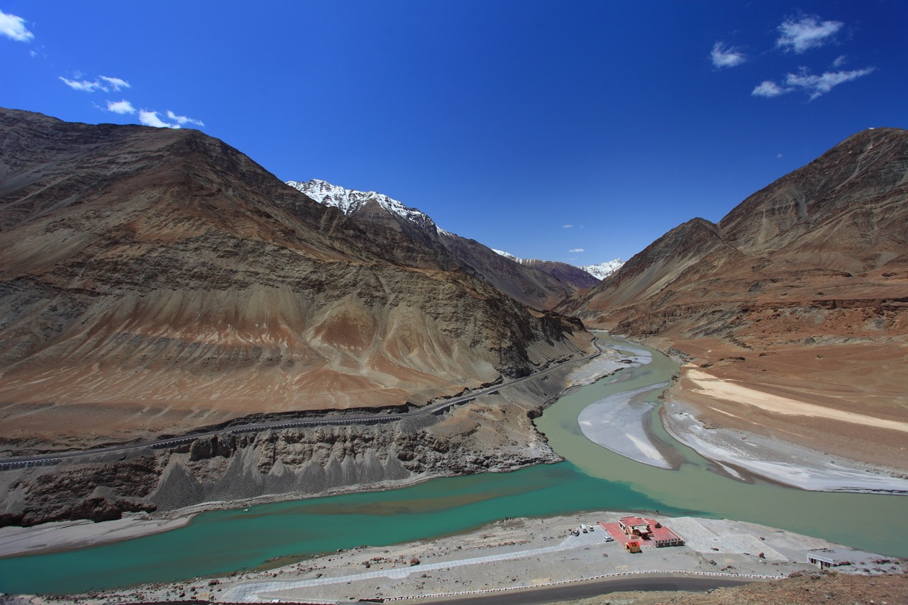
Sep 15 : Buffer Day – Magnetic Hill, Sangam & Leh Market
Our final full day in Ladakh is held as a buffer, built in to absorb any weather delays or road closures from the preceding days, and otherwise used for a relaxed exploration of sites closer to Leh. Depending on conditions, we visit Magnetic Hill to witness its curious optical phenomenon, and the Sangam viewpoint to document the striking confluence of the Indus and Zanskar rivers.
We continue on to Basgo Monastery, with its weathered mud-brick ruins offering a quieter, more textured contrast to the grand landscapes covered earlier in the trail, before a stop at Sindhu Ghat along the Indus. In the afternoon, we hold a dedicated editing and image review session as a group, followed by a final evening at Leh Market for street photography and some well-earned downtime before the trail concludes.
📸 Photography Highlights
- Confluence Landscapes
- Monastery Architecture
- Local Markets
- Street Photography
- Editing & Image Review Session
Day – 11
Destination: Departure
Sep 16 : Departure
After breakfast, the expedition concludes in Leh. Participants will be transferred to the airport for their onward journey, bringing an end to eleven days of chasing light and dark skies across the Himalayas.
Ready for Ladakh?
Join us on an unforgettable journey across the highest and most remote landscapes of Ladakh. Experience epic Himalayan terrain, India’s darkest skies, and memories that will stay with you long after the trail ends.
Trail Costs & Payment Schedule
TOTAL TRIP COST
₹45,000/- per person
₹50,000/- per person (foreign nationals )
Inclusive of 5% GST.
ADVANCE BOOKING FEE
₹15,000
Strictly Non-refundable.
BALANCE PAYMENT DUE
7 days prior
Cleared in full before departure date.
What's Included
- Airport pickup on arrival and drop on departure in Leh.
- All ground transportation throughout the trail — Leh to Leh.
- Comfortable accommodation on a Twin Sharing basis (hotels, homestays, and camps as per itinerary).
- Daily Breakfast & Dinner (MAP Plan).
- Inner Line Permits / Protected Area Permits for Nubra, Pangong, Hanle, Tso Moriri, and Umling La.
- Entry fees to monuments and attractions mentioned in the itinerary.
- Services of an experienced local driver familiar with high-altitude routes.
- Basic First Aid Kit & Oxygen Cylinder in the vehicle.
- Hands-on Photography & Astrophotography Mentoring throughout the trail.
What's NOT Included
- Flights or any transportation to/from Leh.
- Lunch, snacks, beverages, bottled water, and personal expenses.
- Camera equipment, batteries, memory cards, tripods, or photography/astrophotography accessories.
- Travel Insurance (strongly recommended), Medical expenses or emergency evacuation costs.
- Foreigner Protected Area Permit fees, if applicable (charged extra for foreign nationals).
- Unforeseen expenses arising from weather delays, road closures at high-altitude passes (Khardung La, Umling La), or anything out of our control.
- Anything not specifically mentioned under “What’s Included.”
Frequently Asked Questions
How big will be the group size?
Maximum 10 participants.
How do we handle high-altitude acclimatization?
We take altitude seriously, and proper preparation begins before the trail officially starts. If you are traveling to Ladakh by road, we highly recommend making your way up slowly over a few days to let your body adapt to the changing elevation gradually. If you are arriving by flight, you must land in Leh a day or two prior to Day 1 to rest and acclimatize to the thin air before the group hits the trail.
Once the trip begins, our itinerary is built around a gradual ascent. The entire first official day in Leh is dedicated to acclimatization via local sightseeing and light walking, and we carry a medical oxygen cylinder and first-aid kit in our vehicle at all times for your safety.
What level of physical fitness is required for this trail?
This is a road-based journey with minimal strenuous trekking, making it accessible to anyone with reasonable mobility. The only exception is the day hike to Phuktal Monastery, which involves a moderate walk along a mountain trail. We maintain a slow, unhurried pace throughout the entire journey to ensure everyone travels comfortably.
What photography gear should I bring?
For daytime shooting, you should aim to cover a focal length range from 24mm to 200mm to properly capture both the grand environmental scale and compression frames of distant peaks. A versatile mid-range zoom (like a 24-70mm) or sharp prime lenses are highly recommended for daily landscapes and cultural portraits. Because gear can quickly become heavy in high-altitude environments, you should only pack a 70-200mm telephoto lens if you are completely comfortable managing its carry weight during active field shooting.
For our dedicated night sessions at Gonbo Rangjon, a fast wide-angle lens with an aperture of f/1.4 to f/2.8 and a highly stable, sturdy tripod are absolutely essential for clean astrophotography tracking. Additionally, a cable release (or remote shutter trigger) is a very important tool to bring along for these night shots, ensuring you can trip the shutter without introducing micro-shake to your long exposures.
What kind of weather and temperatures should I expect?
Mountain weather fluctuates significantly. During the day, expect pleasant, clear conditions ranging from 15°C to 22°C. However, after sunset and at high passes like Singe La, temperatures drop sharply, often reaching between 5°C and -5°C. Layering is key—we will provide a complete packing checklist prior to departure.
What is the accommodation and travel dynamic on this trail?
For our journey on the road, we will be utilizing a Force Traveller that accommodates everyone comfortably with dedicated space for the group’s gear.
Regarding accommodations, it is important to note that this is not a luxury trip. While we carefully select the best available options to ensure every stay is clean, comfortable, and well-managed, these are incredibly remote high-altitude areas. In Leh and Padum, we rest in comfortable, clean homestays or lodges. In the deep interior zones near Gonbo Rangjon and Lingshed, we transition into rustic camps and traditional local homestays. Stays are structured on a twin-sharing basis. Solo travelers will be paired with another participant of the same gender unless single occupancy is explicitly requested in advance (subject to availability and additional charges).
I am not a Photography enthusiast but I still want to come. Can I join?
Absolutely, you are welcome to join. However, please keep in mind that because this is a dedicated photography expedition, our daily schedule is built around an intentional, slow pace designed to wait for the right light. We prioritize spending significant time at a few key locations over rushing through a long sightseeing checklist. If you are comfortable with a slower, unhurried rhythm and won’t feel frustrated by spending extended hours at a single location to capture the perfect frame, you will find this a deeply immersive way to experience the remote landscape and culture of Zanskar.
Are there any legal or liability documents I need to sign before the trip?
Yes. Because we are traveling through remote, high-altitude terrain, all participants are required to review and sign a standard Risk Liability and Arbitration Agreement Waiver prior to the start of the expedition. This document outlines the inherent risks of travel in the Himalayas and ensures that everyone is fully aligned on safety, personal responsibility, and operational protocols before we hit the trail. Signing this waiver is a mandatory requirement for joining the group.
What are the luggage size restrictions for this trail?
Because we travel as a group of 10 participants, space optimization inside our expedition vehicle (a Force Traveller or similar) is critical. In addition to standard luggage, every participant carries a dedicated camera bag and a tripod. Accommodating full-sized, hard-shell suitcases is structurally impossible.
We strictly require everyone to travel light using a compact duffel bag or a small, cabin-sized suitcase instead. To take the guesswork out of packing, we will provide a comprehensive, curated checklist detailing exactly what to bring to all registered participants well before the start of the trip.
What is the Cancellation Policy?
Choosing to cancel your slot must be communicated formally via email to lightchasetrails@gmail.com with your complete personal information. The date the email is received will serve as the sole timestamp for calculating applicable fees.
-
Cancellations made 15 Days or more prior to departure (On or before July 25): The remaining balance is fully refundable. The initial ₹15,000 non-refundable advance booking fee will be retained as a standard processing and administrative charge.
-
Cancellations made within 14 Days of departure (From July 26 onwards) or No-Shows: 100% of the total trip fee is forfeited. Because all interior accommodations, permissions, and expedition vehicle logistics are fully committed past this date, no refunds or date transfers can be issued.
Important Expedition Terms
-
Minimum Participant Quota: A minimum of 10 participants is required to run this expedition. In the highly unlikely event that this threshold is not met by July 25, the trip will be officially canceled, and 100% of all payments—including your deposit—will be refunded immediately.
-
Atypical Disruptions: Because we are navigating remote, high-altitude mountain terrain, itinerary adjustments due to sudden landslides, weather anomalies, or state-enforced road closures do not qualify for refunds. We strictly advise all travelers to purchase comprehensive travel insurance to insulate themselves against unexpected trip interruptions.
Are airport transfers included in the trip cost?
No, airport pickup and drop-off expenses are not included in the trail package and must be covered individually. However, to make your arrival seamless, we will provide all registered participants with trusted local cab coordinator contact numbers so you can easily arrange your transfers directly.
Will my mobile network work in Leh Ladakh?
It depends on your plan type. Due to local security regulations, all out-of-state prepaid SIM cards do not work anywhere in Jammu & Kashmir or Ladakh. To stay connected, you must either travel with an active postpaid connection (Jio and Airtel offer the most reliable coverage in the region) or purchase a local postpaid SIM card immediately after landing in Leh.